Lewisville Mortgage Broker: Lake, Flood Zone and Home Loans
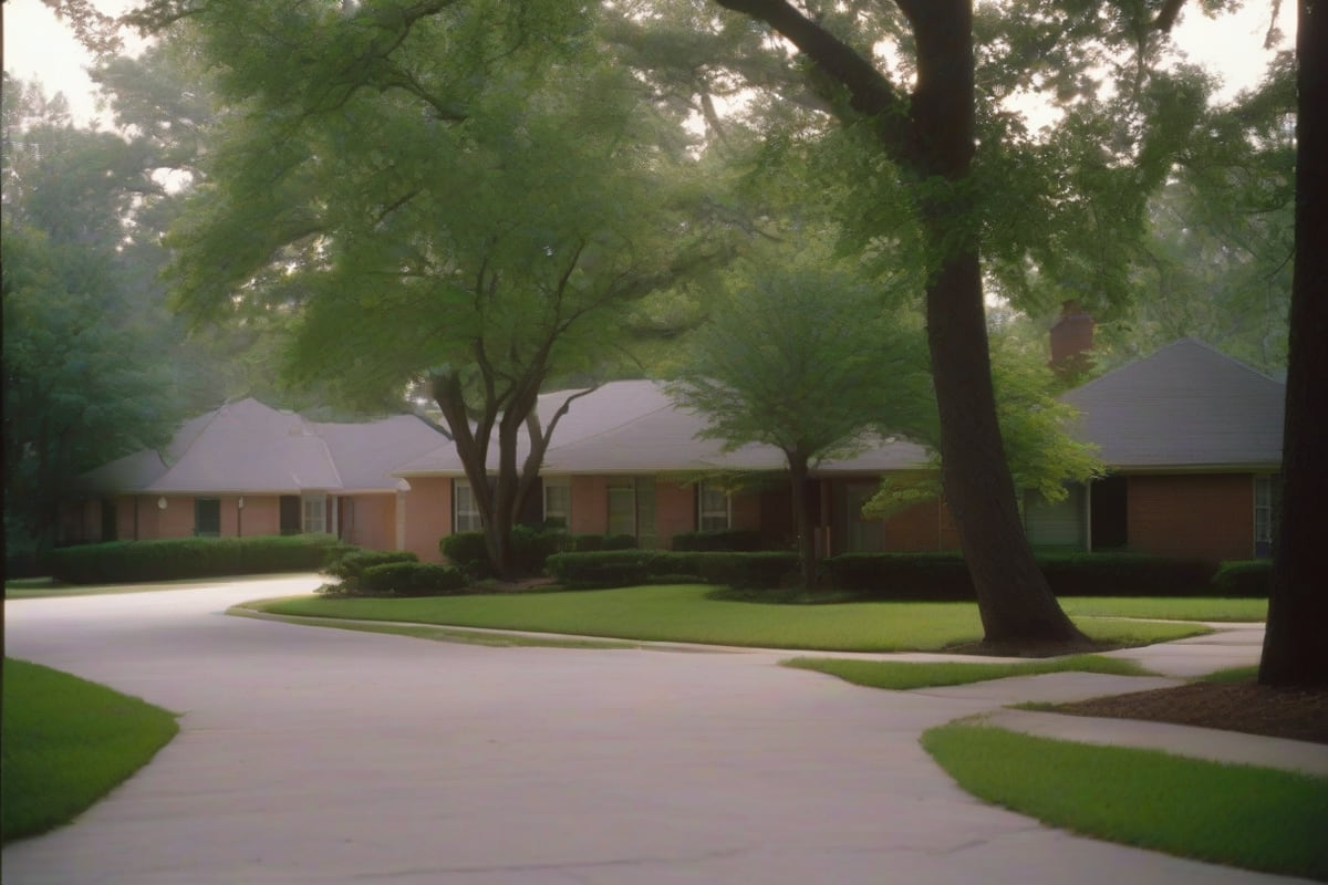
Lewisville is built around a reservoir the federal government controls, on the floodplain of the Elm Fork of the Trinity River. Both facts show up in loan files here more often than in any neighboring city.
Most buyers understand that a flood zone means flood insurance. What almost nobody knows is that a flood zone determination can be wrong, and there is a formal process to fix it — one that regularly saves owners a four-figure annual premium.
That process, and the Corps of Engineers easement question, are the two things worth understanding before you buy here.
When the flood determination is wrong
Your lender orders a flood zone determination against the FEMA map. If the property is in a Special Flood Hazard Area, flood insurance is federally required as a condition of the loan. The basics of that requirement are the same everywhere, and we set them out on our Houston page.
Here is the part specific to a place like Lewisville: FEMA maps a parcel, but insurance risk is about a structure.
Flood maps are drawn at a scale that cannot resolve individual lots well. A property can be mapped inside a hazard area while the house itself sits on ground above the base flood elevation — on a rise, on fill placed during construction, or simply on the high side of a lot that slopes down to a creek.
When that is the case, two formal remedies exist:
A Letter of Map Amendment (LOMA). FEMA's determination that a specific structure or parcel sits on naturally high ground above the base flood elevation and was mapped in by the limits of map scale. There is no FEMA fee to apply.
A Letter of Map Revision Based on Fill (LOMR-F). The equivalent where the structure sits above base flood elevation on fill placed rather than natural grade. This one does carry a review fee.
What either one gets you: the federal flood insurance requirement is removed, and your lender must drop the mandate. Coverage remains available and is often still worth carrying voluntarily at a much lower rate — but it stops being a required escrow item, which also stops it from consuming your qualifying ratio.
What the process needs
An elevation certificate, prepared by a licensed surveyor or engineer, establishing the lowest adjacent grade and the structure's elevation relative to the base flood elevation. This is the document the whole thing turns on, and it costs a few hundred dollars.
Time. FEMA review commonly runs several weeks. That is longer than most option periods, which means this is generally something you pursue after closing rather than a contingency you can resolve before it.
A realistic expectation. If the structure is genuinely below base flood elevation, no amount of paperwork changes that, and it should not.
Ask the seller whether one already exists. A prior owner may have obtained a LOMA years ago. It attaches to the property and can simply be handed to your lender — and sellers frequently forget they have one.
Corps of Engineers flowage easements
Lewisville Lake is a US Army Corps of Engineers reservoir, and the Corps holds property rights well beyond the visible waterline.
A flowage easement is a recorded right for the government to flood land up to a defined elevation. The land beneath it is privately owned and privately taxed, but the easement runs with it permanently.
What that means if you are buying near the lake:
- It is not the same as a flood zone. It is a recorded property interest, and it appears on your title commitment and your survey rather than on a FEMA map.
- It typically restricts what may be built within the easement area — structures, fill and certain improvements may be prohibited or require Corps permission.
- Lenders generally have no problem with a flowage easement itself. What creates a problem is an existing structure encroaching into it, which can become a title objection and occasionally a condition of closing.
Read the survey and Schedule B. If any part of the improvements sits inside an easement area, get it resolved during the option period. This is the single most common lake-adjacent title issue in Denton County, and it is entirely discoverable in advance.

Denton County taxes
Combined rates in Lewisville generally run in the 2.1% to 2.5% range — City of Lewisville, Denton County, and your school district, plus any special district.
Most of the city is Lewisville ISD, which is larger than the city and also serves parts of Flower Mound, Highland Village, Coppell, Carrollton, Frisco, Plano and The Colony. A few edges fall into other districts, so verify by address.
Verify the parcel with the Denton Central Appraisal District. A sale resets appraised value, the seller's exemptions end at closing, and the first post-purchase bill routinely exceeds what a listing advertised. File your homestead exemption the year you buy.
Where a flood insurance premium is required, remember it is escrowed alongside taxes and insurance — which is why removing an unnecessary requirement through a LOMA can change what you qualify for, not just what you pay.
The housing stock
Lewisville built out in waves, and the era tells you what to expect:
1970s and early 1980s stock near the older core, on established lots with mature trees. Cast iron drain lines and original electrical are the recurring inspection items.
Late 1980s through 1990s through the middle of the city — the largest share of the inventory, generally straightforward conventional or FHA purchases.
2000s onward at the western and northern edges and around Castle Hills, more likely to sit inside a special district with an assessment on top of regular taxes.
Old Town Lewisville has seen substantial redevelopment, with newer attached and mixed-use product alongside the original grid.
Where people buy
Old Town around Main Street and the DCTA A-train station is the densest and most walkable part of the city.
Castle Hills, a large master-planned community on the southwest side, was annexed into Lewisville and carries its own district structure.
Vista Ridge and the SH-121 corridor hold 1990s and 2000s single-family development.
The lake side north of Lake Park Road carries the water-adjacent inventory, and the parcels most likely to involve easements or elevation questions.
Southern Lewisville near the Carrollton line is the oldest and most affordable part of the city.
The city
Lewisville began as Holford's Prairie in the 1840s and was renamed for Basdeal Lewis, an early settler, when the railroad arrived in 1881.
The town's original site is under the lake. Lewisville Lake was impounded in 1955, replacing the earlier Lake Dallas dam, and flooded the community of Lewisville's low-lying original settlement area along with several smaller communities.
The Lewisville Lake Environmental Learning Area — LLELA — protects roughly 2,000 acres of bottomland hardwood forest, prairie and wetland below the dam, with a bison herd and one of the better preserved stretches of Elm Fork riparian forest left in North Texas.
Lake Park and Pilot Knoll Park carry most of the shoreline recreation, and Old Town Lewisville hosts the city's Western Days festival each fall.
The DCTA A-train connects Old Town north to Denton and south to the DART Green Line at Trinity Mills.
Not sure which fits? Compare every loan program we place.
Frequently asked questions
Can I get out of a flood zone determination? Sometimes. If the structure sits on naturally high ground above the base flood elevation, a Letter of Map Amendment removes the federal insurance requirement. If it sits above base flood elevation on placed fill, a LOMR-F does the same. Both require an elevation certificate.
What does a LOMA cost? FEMA charges no fee for a LOMA. The real cost is the elevation certificate from a licensed surveyor, typically a few hundred dollars. A LOMR-F does carry a FEMA review fee.
How long does a LOMA take? FEMA review commonly runs several weeks, which is longer than most option periods. It is usually pursued after closing rather than as a contract contingency.
What is a flowage easement? A recorded right for the US Army Corps of Engineers to flood land up to a defined elevation on a reservoir like Lewisville Lake. The land stays privately owned and taxed, but building within the easement is restricted. It appears on your title commitment and survey, not on a FEMA map.
Does a flowage easement stop me getting a mortgage? Generally no. The problem case is an existing structure encroaching into the easement area, which can become a title objection. Read the survey and Schedule B during your option period.
What are property taxes in Lewisville, TX? Combined rates generally run about 2.1% to 2.5%, plus any special district assessment. Verify the parcel with the Denton Central Appraisal District.
Is all of Lewisville in Lewisville ISD? Most of it, though Lewisville ISD also extends well beyond the city and a few edges of the city fall into other districts. Verify by address.
Get the determination and the survey early
Both of the issues on this page are knowable before you close, and both are expensive to discover afterward.
Send us an address and we will get the flood determination run and tell you whether a LOMA is worth pursuing.
Start your application · Run the numbers · Call 737-347-1314
Looking at a property in Lewisville?
Send us the address and we will model the real payment — taxes, insurance and HOA included — before you write an offer.
Talk To A Loan OfficerNearby Areas
Nearby & Related